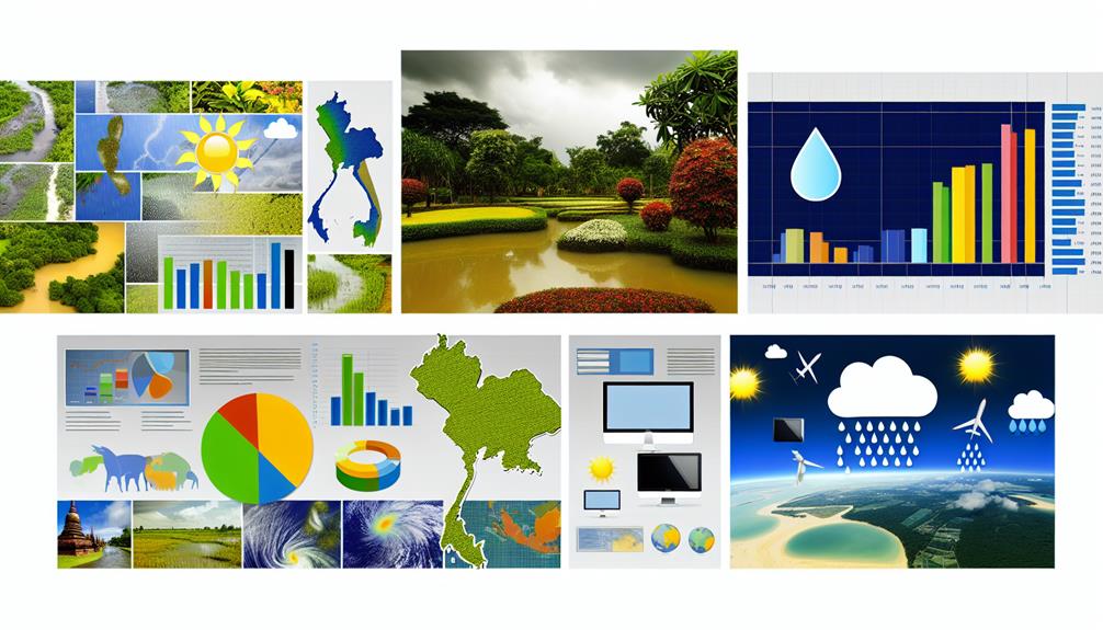
As you wade through the complexities of Thailand’s monsoon seasons, understanding the nuances of its rainfall patterns becomes as crucial as navigating its winding river networks. You’re tasked with the challenge of deciphering the rhythm of the rain, where each drop contributes to a larger story of climate and change.
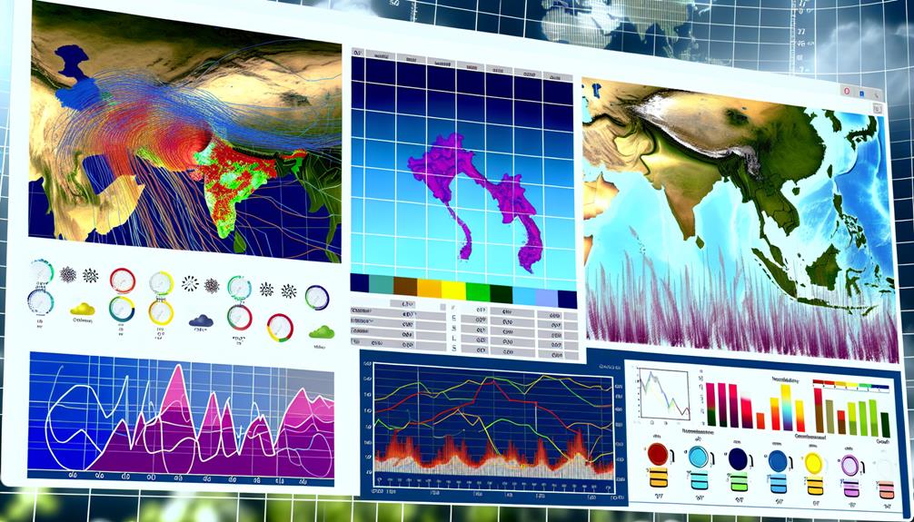
Among the myriad of tools at your disposal, eight stand out for their precision and insight. From satellites that sketch the dance of the clouds from space to hyper-local weather stations whispering the secrets of the immediate atmosphere, each instrument offers a unique perspective on the ebb and flow of Thailand’s precipitation.
As you stand at the precipice of discovery, eager to unravel the tapestry of Thailand’s climate, consider how these tools could not only inform your understanding but also empower you to anticipate the needs of a nation where water is both a lifeline and a force to be reckoned with.
Will you be able to harness this knowledge to better predict and prepare for the future that the skies foretell?
TRMM Satellite Observations
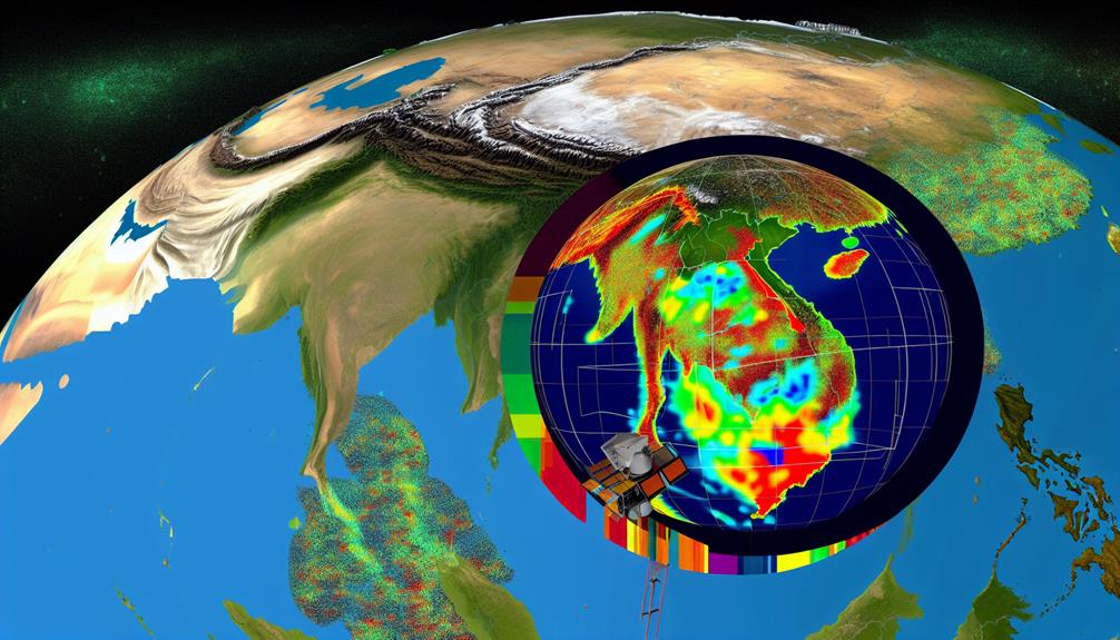
The TRMM satellite has provided invaluable data on Thailand’s rainfall patterns, offering insights into trends and anomalies over the past decades. As you dive into these observations, you’re tapping into a wealth of information that’s crucial for understanding the region’s climate dynamics.
TRMM, short for Tropical Rainfall Measuring Mission, has been your eye in the sky since its launch in 1997, specifically designed to measure tropical and subtropical precipitation.
What you’ll find is that TRMM’s data isn’t just numbers on a screen; it’s a narrative of Thailand’s weather story. You’ve got access to detailed records of how monsoons sweep across the country, where they hit hardest, and how this has changed over time. This is key to grasping the patterns that affect agriculture, water resources, and disaster management.
With TRMM’s microwave imager and precipitation radar, you’re not just seeing the intensity of rainfall but also its distribution. This data helps you pinpoint areas prone to droughts or floods, enabling better preparation and response. It’s like having a high-definition map of Thailand’s rainy seasons at your fingertips.
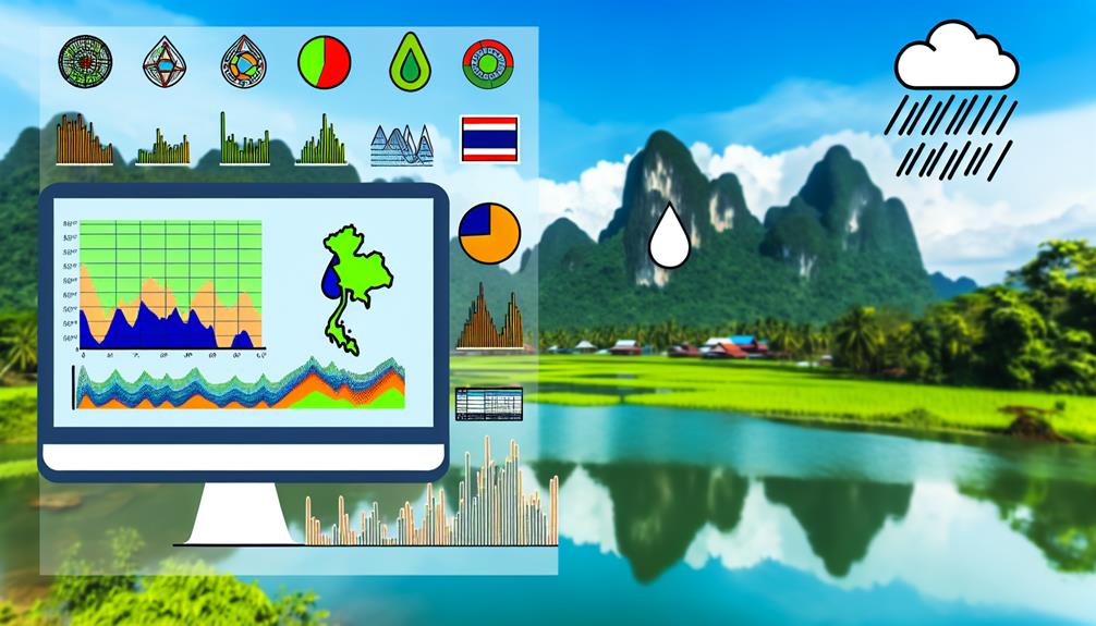
Rainfall Pattern Analysis With PERSIANN
Let’s delve into how PERSIANN, a system that deciphers complex climate data, has revolutionized our understanding of Thailand’s rainfall patterns. PERSIANN, which stands for Precipitation Estimation from Remotely Sensed Information using Artificial Neural Networks, uses cutting-edge algorithms to analyze satellite imagery and provide accurate rainfall estimates. This tool is a game-changer for you if you’re studying climate trends or managing water resources in Thailand.
With PERSIANN, you’ve got the power to track rainfall with remarkable precision. The system examines cloud properties from space, offering insights that ground-based methods can’t match. You can observe not only how much rain is falling but also understand its distribution over time and space. This is crucial for recognizing monsoon cycles and even predicting flood events.
What’s more, PERSIANN’s continuous updates mean you’re always armed with the latest data. You can detect subtle changes in rainfall patterns as they happen, which is invaluable for early warning systems. And because it covers vast areas, PERSIANN allows you to conduct comprehensive analyses that were once impossible or incredibly time-consuming.
Hydrological Simulation Program-Fortran (HSPF)
Building on the detailed rainfall data provided by PERSIANN, the Hydrological Simulation Program-Fortran (HSPF) enables you to simulate the effects of this precipitation on watersheds across Thailand. This sophisticated tool models the hydrologic cycle and can help you understand how rainfall impacts river flow, groundwater levels, and reservoir storage in the region.
With HSPF, you’re able to analyze runoff, evapotranspiration, and the routing of water through catchments. You can also assess the impact of land-use changes and management practices on water quality and quantity. It’s a powerful way to predict the effects of extreme weather events, like floods and droughts, which are critical for planning and mitigation efforts in Thailand.
You’ll find that HSPF is particularly useful because it integrates meteorological and hydrological data, offering a comprehensive view of the water system dynamics. By running simulations, you can anticipate how different scenarios could play out, assisting policymakers and resource managers in making informed decisions.
Advanced Weather Forecast Models
Advancing beyond traditional methods, modern weather forecast models employ complex algorithms and vast data sets to deliver precise predictions for Thailand’s weather patterns. These models, often run by supercomputers, can crunch numbers at an astonishing rate, providing you with real-time insights and forecasts that are critical for agriculture, disaster management, and everyday life.
You’ll find that the accuracy of these models comes from their ability to simulate the atmosphere’s dynamics at various scales. They integrate satellite observations, ground-based data, and oceanic trends to analyze the climate intricacies affecting Thailand’s monsoon-driven rainfall.
For instance, the Global Forecast System (GFS) is a widely used model that offers high-resolution forecasts and is continually updated to enhance its reliability.
Moreover, regional models like the Weather Research and Forecasting (WRF) model are tailored to capture local weather phenomena, giving you a closer look at how specific events might unfold across Thailand’s diverse topography.
With these advanced tools, you’re no longer just passively receiving forecasts; you’re equipped to understand and anticipate the intricacies of Thailand’s rainfall, enabling better planning and more informed decisions.
Embrace these sophisticated models to stay ahead of the curve in weather prediction and analysis.
The Global Precipitation Measurement Mission
The Global Precipitation Measurement Mission, a joint initiative by NASA and JAXA, serves as a cornerstone in understanding Thailand’s complex rainfall patterns by providing unprecedented global observations of precipitation. This collaborative satellite project gives you the ability to track rain and snowfall across the entire globe every three hours, offering an unparalleled look at how precipitation forms and interacts with the atmosphere.
You’ll find the GPM’s Core Observatory satellite at the heart of this mission. It’s equipped with advanced radar and radiometer instruments that measure precipitation intensity and distribution with remarkable accuracy. This data is invaluable for researchers and meteorologists who need to analyze and predict Thailand’s monsoonal rains and occasional droughts.
As you delve into the GPM data, you’re accessing information that helps improve weather forecasts, enhance understanding of climate patterns, and support water resource management. It’s a game-changer for agricultural planning and disaster response efforts in Thailand, where rainfall can greatly impact daily life.
Radar-Based Precipitation Monitoring
As you explore radar-based precipitation monitoring, you’ll uncover how this technology provides real-time data critical for understanding Thailand’s dynamic weather patterns. Radar, which stands for Radio Detection and Ranging, uses radio waves to detect objects and measure their distance and speed. When it comes to rainfall, radar systems send out signals that bounce off precipitation particles, allowing meteorologists to track storm development and movement.
You’ll find that in Thailand, radar’s ability to cover large areas quickly makes it indispensable for monitoring monsoon rains and tropical storms that can lead to flooding. High-resolution radar helps to pinpoint where heavy rain is falling, often before it hits the ground, giving authorities time to issue warnings and prepare for potential flood events.
Moreover, radar data can be integrated with satellite observations and ground-based measurements for a comprehensive view of rainfall trends. This triangulation of data strengthens the accuracy of forecasts and climate models. As you dive deeper, you’ll see how crucial this is for water resource management and agricultural planning in Thailand.
Climate Prediction Center Data Analysis
Delving into the Climate Prediction Center’s data, you’ll uncover patterns and anomalies in Thailand’s rainfall trends that are essential for forecasting and preparation.
The Climate Prediction Center (CPC), a branch of the National Weather Service, provides comprehensive climate data, which you can analyze to understand the intricacies of rainfall in Thailand.
When you explore the CPC’s resources, you’re tapping into a wealth of information. You’ll find rainfall data, temperature averages, and even predictions for El Niño and La Niña events, which significantly impact Thailand’s climate.
To get the most out of this data, you’ll use tools like time series analysis to identify long-term trends and anomalies. This will help you ascertain if certain areas are experiencing changes in rainfall patterns over time.
Statistical tools available through the CPC will enable you to compare current data with historical averages, giving you a clearer picture of what’s out of the ordinary.
Furthermore, the CPC’s models and forecasts can be invaluable in predicting future trends, which is crucial for agriculture, water resource management, and disaster preparedness in Thailand.
Local Weather Station Networks
Complementing the Climate Prediction Center’s data, local weather station networks across Thailand provide granular insights into regional rainfall patterns. You’ll find these networks indispensable for understanding the nuances of local weather that broader datasets might miss. They capture the unique topographical influences on rainfall, from the rolling hills of the North to the coastal plains in the South.
When you’re diving into these local networks, you’re tapping into a rich vein of real-time data. They offer up-to-the-minute readings on precipitation, temperature, humidity, and wind speed. This immediacy can help you spot emerging trends and make swift decisions if you’re managing agriculture, water resources, or urban planning in Thailand.
These networks consist of automated stations, often managed by government agencies like the Thai Meteorological Department. They’re bolstered by contributions from private and academic sources, creating a comprehensive mesh of data points. By using this localized data, you can perform detailed analysis on how monsoons affect specific provinces, or how urbanization is changing rainfall trends in Bangkok.
Frequently Asked Questions
How Do Socioeconomic Factors in Thailand Influence the Distribution and Access to Advanced Rainfall Analysis Tools?
You’re impacted by socioeconomic factors that shape who gets advanced rainfall tools. Wealth, education, and location drive access, often leaving rural or poorer communities without the needed technology for effective weather analysis.
What Are the Traditional Thai Methods for Predicting Rainfall, and How Do They Compare With Modern Techniques?
You’ll find traditional Thai rainfall prediction relies on nature’s cues, like wind patterns and animal behaviors, which, while insightful, aren’t as precise as today’s satellite data and computer modeling techniques.
How Has Climate Change Impacted the Accuracy of Historical Rainfall Data Used for Trend Analysis in Thailand?
Climate change has skewed historical rainfall data in Thailand, making your trend analysis less reliable due to increased variability and extreme weather events that weren’t as prevalent in the past.
Are There Any Mobile Apps Developed Specifically for Thai Farmers to Help Them in Planning Agricultural Activities Based on Rainfall Predictions?
You’ll find several mobile apps designed to assist Thai farmers with agricultural planning, incorporating local rainfall forecasts to optimize their crop management and mitigate the impacts of unpredictable weather patterns.
What Educational Programs or Initiatives Are in Place to Help Local Communities in Thailand Understand and Utilize Rainfall Trend Data for Better Water Resource Management?
You’ll find various educational programs, such as government-led workshops and NGO initiatives, that teach local communities to use rainfall data for improved water management and agricultural planning in Thailand.
Conclusion
You’ve got a powerful toolkit to decipher Thailand’s rainfall trends.
From the high-tech snapshots of TRMM and the Global Precitation Measurement Mission to the detailed simulations of HSPF and advanced forecasts, you’re covered.
PERSIANN and radar keep you updated in real-time, while the Climate Prediction Center and local networks ground your insights.
With these tools, you’re well-equipped to predict, prepare for, and understand the whims of Thailand’s weather patterns.
Stay ahead of the storm!